Public safety · 3D facility map

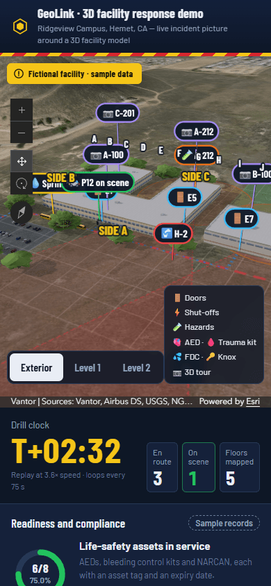
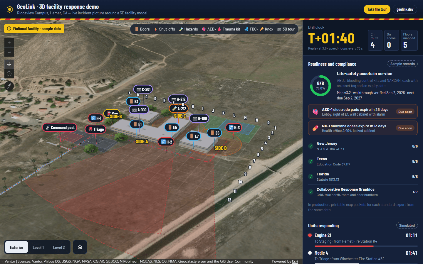
A live incident picture around a 3D school campus: units, doors, shut-offs and hazards by floor.

Client

Public safety · 3D facility map
Year

2026

Role

Architecture · Build · Deploy

Status

Demo

Stack
  • ArcGIS Maps SDK
  • React
  • Vite
  • OpenStreetMap
  • NWS · USGS · NIFC feeds
3D Facility Response Map
3D Facility Response Map — 1
3D Facility Response Map — 2

The problem

When crews answer a call at a school or a plant, the floor plans sit in a binder or a PDF. Doors, gas shut-offs and hazards are hard to find under stress.

Command staff also can't see where the responding units are, or what the wind and nearby fires are doing, on the same screen.

What we built

A 3D web map of the campus that works on a dispatch screen and on a phone. Each floor shows its rooms, doors, shut-offs, AEDs and hazards. Tap a door to see the lock, the Knox box and a 3D walkthrough of that room.

Simulated units drive in on real streets from real stations. Live weather alerts, wind, wildfires and earthquakes come from public feeds. A readiness panel shows which safety items are due for service.

The campus is fictional and the facility data is sample data.

Results

  1. 01Doors, shut-offs and hazards for each floor, one tap away
  2. 02Responding units on the map, with time to arrival
  3. 03Live wind, weather alerts and nearby fires on the same screen
  4. 04Works on a phone in a patrol car and on a dispatch screen
Live demo

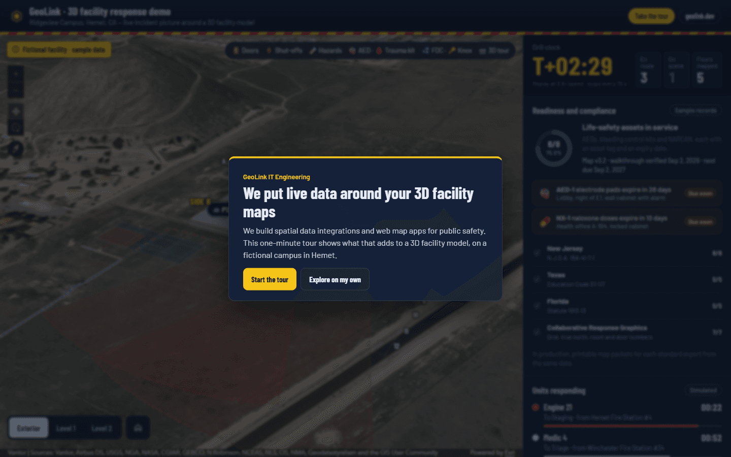
Concept demo on a fictional campus. Start the one-minute tour, then tap any door on the map.

← Back to work

Book your free 30-minute audit.

We take 2 free audits per month.

In 48 hours you get a 2-page report and a clear next step.

  • 50+ municipal deployments
  • We tell you if you don’t need us
  • No contract to book the call