Region
GIS systems
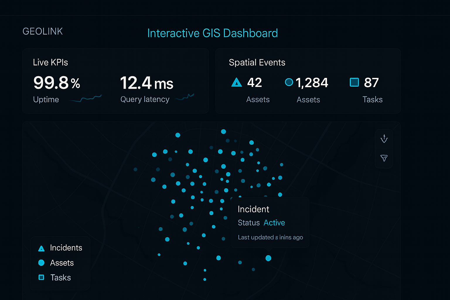
Inspection-grade GIS for municipal field crews.
Field inspection teams needed a single map view across thousands of sewer assets, with offline tile support and real-time sync back to a central SQL Server.
Prior tooling forced dispatchers to switch between desktop GIS, paper field reports, and three different spreadsheets — making it impossible to see live status across a region.
A Leaflet-based web app deployed on AWS with GeoServer WMS/WFS for the asset layers and PostgreSQL/PostGIS as the spatial backend.
The app handles offline tile caching for field crews, bi-directional sync with the existing SQL Server inspection database, and a dispatcher console with drill-down from region to individual asset.
Deployed on AWS Amplify with CI/CD and zero-downtime cutovers.
Production web app on AWS Amplify. The UI you see is the live system field crews use.